Uma Müller · 23 October 2026
Tracing Shifts in Ligurian Coastal Flora: Felora's Three-Decade Field Documentation Project
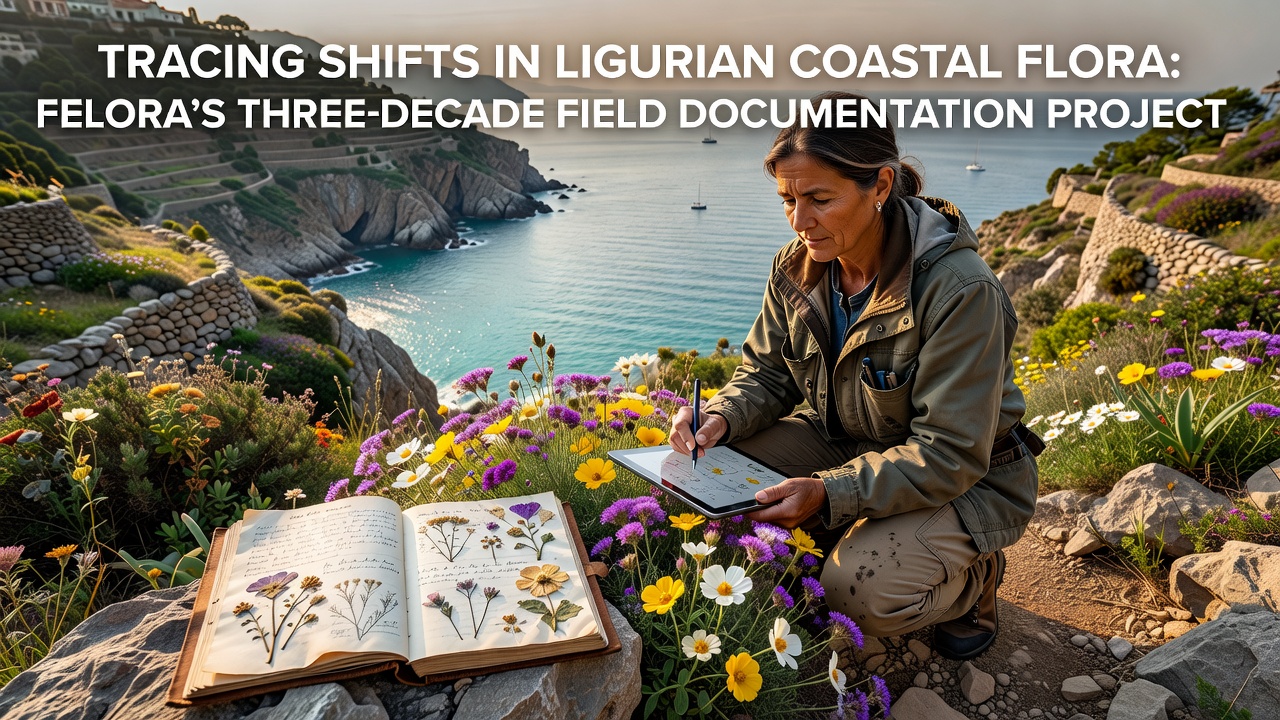
Researchers associated with Felora have maintained continuous records of plant communities along the Ligurian coastline since the mid-1990s, and the resulting dataset now spans three full decades of systematic observation. The project began as a modest effort to catalog species distributions in rocky shore and dune habitats, yet it expanded after initial surveys revealed measurable changes in composition and abundance. Teams visit fixed transects multiple times each season, recording presence, cover estimates, and phenological stages for every vascular plant encountered within defined plots.
Project Origins and Expansion
Initial work concentrated on a 12-kilometer stretch near Genoa, where observers noted early signs of thermophilous species moving upslope and into previously cooler micro-sites. By the early 2000s the network had grown to include 28 permanent plots distributed across four provinces, and protocols were standardized to allow direct comparison across years. Funding from regional environmental agencies supported the addition of soil-temperature loggers and photographic archives that now contain more than 45,000 georeferenced images.
Data collection occurs on a fixed calendar regardless of weather, because consistency matters more than convenience when trends are the target. Volunteers trained in botanical identification supplement core staff during peak flowering periods, and all records enter a central database within 48 hours of each outing. Quality-control routines flag outliers for re-examination on the next scheduled visit.
Documented Changes Through Time
Comparisons between the 1995–2005 baseline and the most recent decade show that several Mediterranean species have increased their frequency at the northern edge of their range, while certain alpine-affinity plants have declined at lower elevations. Total species richness per plot has remained relatively stable, but the identities of the dominant taxa have shifted. Researchers note that Cistus and Helichrysum populations now occupy sites where they were absent or sparse thirty years earlier, and that some orchids once common in spring meadows appear later or in reduced numbers.
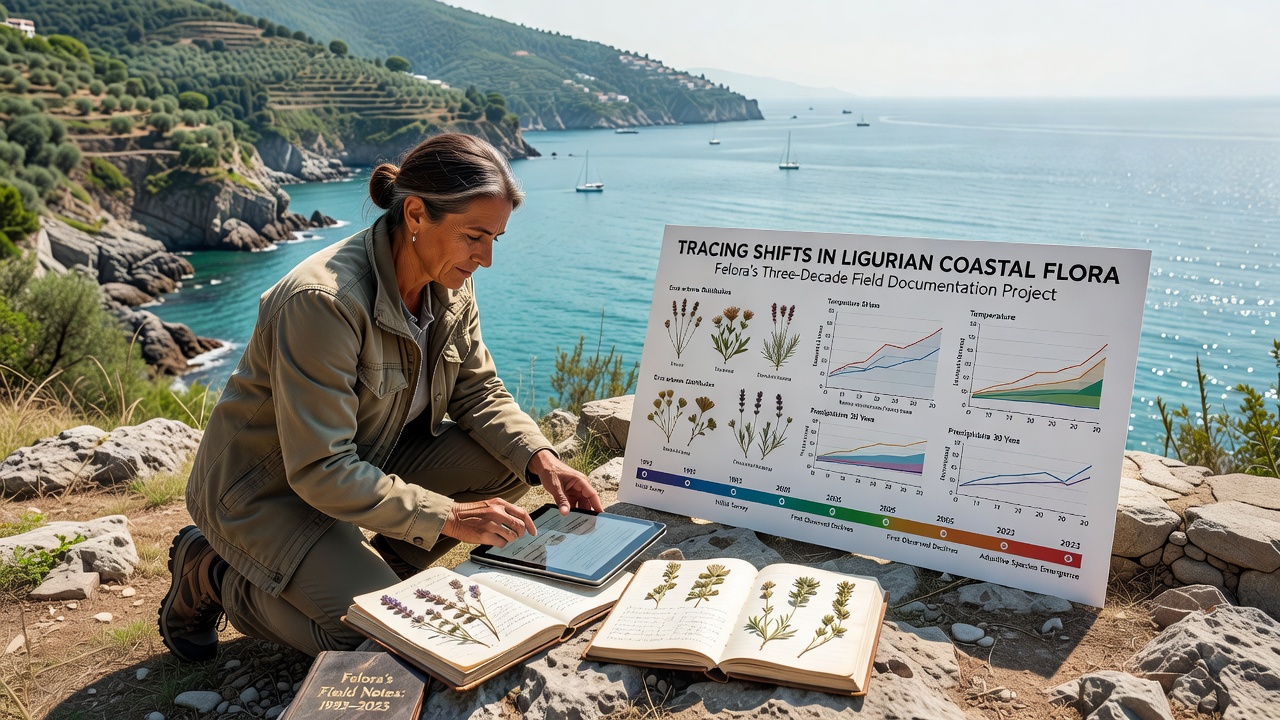
Precipitation records collected alongside the botanical data indicate that autumn rainfall has become more variable, and that prolonged dry intervals during the growing season correlate with reduced seedling survival for certain forbs. Soil analyses performed every five years reveal gradual increases in salinity at the lowest plots, a pattern consistent with higher storm-surge frequency documented by regional tide gauges. These environmental measurements provide context for the floristic trends without implying direct causation.
Integration with Broader Monitoring Networks
Felora’s archive contributes to the Italian National Biodiversity Network and supplies raw occurrence data to the Global Biodiversity Information Facility. In October 2026 the project team plans to release an updated atlas that merges its coastal records with satellite-derived vegetation indices for the entire Ligurian region. The atlas will be accompanied by an open-access API so that other research groups can query species-specific trends at multiple spatial scales.
Collaboration with the European Environment Agency has allowed cross-checking of local observations against continental-scale climate datasets, and preliminary alignment shows that the timing of peak biomass advance matches patterns reported from similar latitudes elsewhere in the Mediterranean basin. A parallel partnership with the University of Florence supplies genetic material from selected populations for common-garden experiments that test heritable responses to warming treatments.
Training and Data Accessibility
University students participate through structured internships that emphasize repeatable field methods and digital curation skills. Each cohort processes a subset of legacy photographs using standardized vegetation indices, and the resulting measurements extend the temporal depth of cover estimates back to the start of the photographic record. Public dashboards updated quarterly display summary statistics for the most frequently recorded species, and downloadable CSV files allow independent verification of reported trends.
Conclusion
The three-decade record assembled by Felora supplies one of the longest continuous datasets available for Ligurian coastal flora. Regular resampling, standardized protocols, and integration with wider European monitoring programs allow researchers to separate local signals from regional patterns. As the project enters its fourth decade, the emphasis remains on maintaining the integrity of the original transects while expanding analytical tools that place the observations within larger environmental contexts.